Öresundsbron
The Ore Sound Bridge between Sweden and Denmark and Brofästet
Öresundsbron is the bridge that connects
Denmark with Sweden. It goes from Malmö's southwest outskirts to Copenhagen's east suburbs. It is one of the world´s longest (7 845 m) and tallest
bridges and Scandinavia´s 2nd tallest bridge with its height of 204 meters (Stora
Bältbron is taller). It is also the 2nd tallest structure in Scandinavia if masts are not counted.
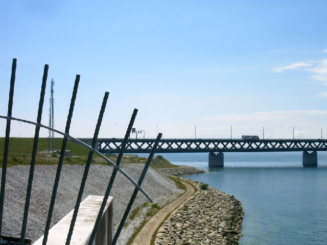
The under deck of the bridge and
the center of the tunnel are for trains, while the cars drive on the road above.
Most of the bridge, including the 2 columns, are on the Swedish side. When the
bridge just have reached Denmark from Sweden, it transforms to a common highway
and railway on the artificial island Pepparholmen (just built for the bridge).
Then the roads go down in a tunnel underneath the sea, Dodgen Tunnel, before it reaches the small island of Amager and the Eastern suburbs of Copenhagen. Copenhagen Airport (Kastrup) is very close to the tunnel. Completed in 2000, the bridge has been discussed about for decades before being built. There have been a lot of people demonstrating
against the bridge, but most people like it now when it is completed. But it is very expensive to cross the bridge with car. Train tickets are cheaper. The area around the bridge is called Brofästet and is situated in the southern outskirts of Malmö. There is a restaurant, parking lots and outdoor observation terraces. The nature surounding is hilly and is popular for walking and biking. It takes only 34 minutes from central Malmö (Triangeln) to Copenhagen Central Station and 18 minutes to Copenhagen Airport.
Most of the pictures below were taken in 2020 during the covid-19 crisis when the borders were partly closed and some in 2004.
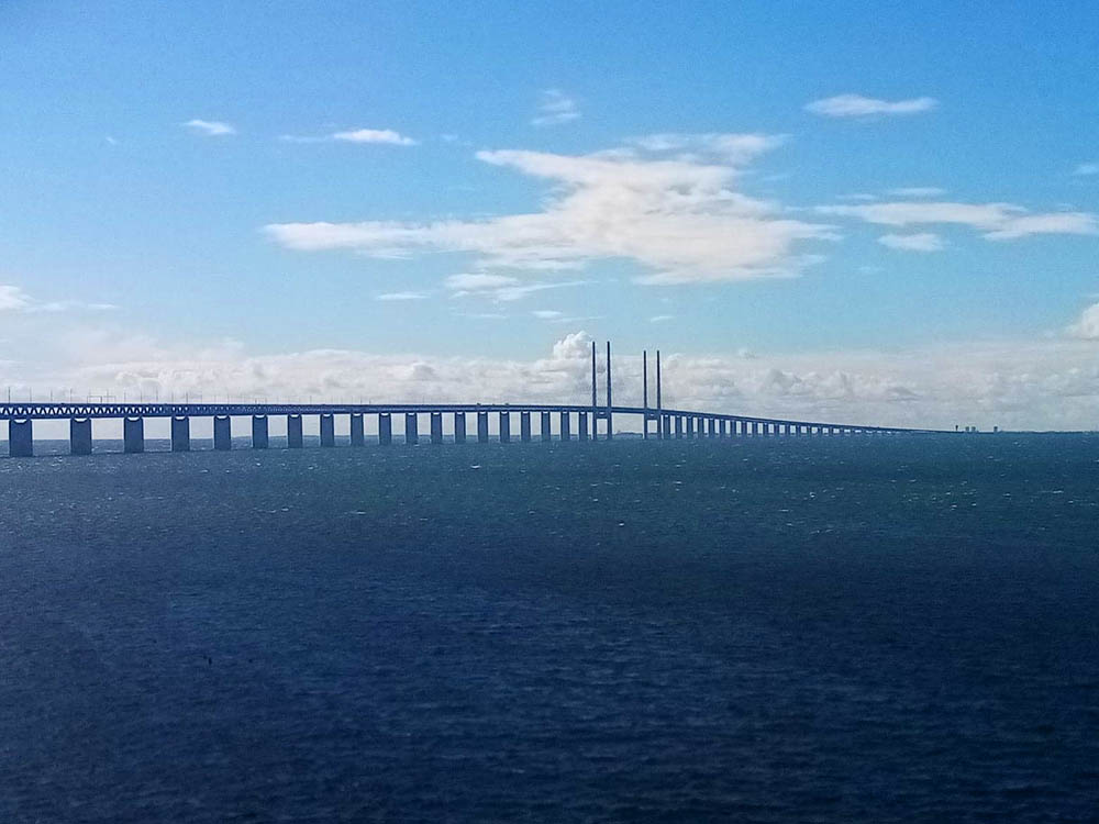
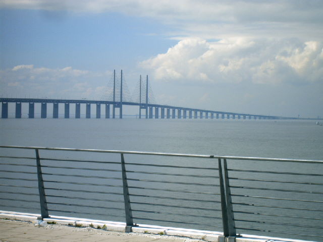
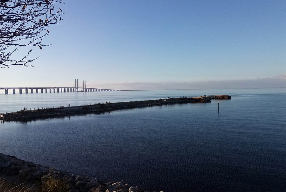
Öresundsbron seen from Brofästet, looking towards Copenhagen. The bridge was completed in 2020. After the bridge was built an train tunnel under Malmö was built to make connections faster. Malmö's Central Station was also expanded.
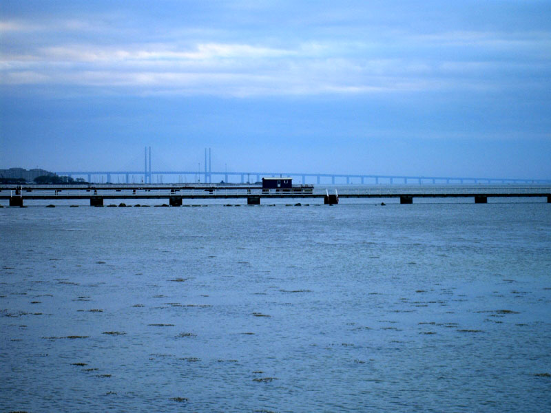
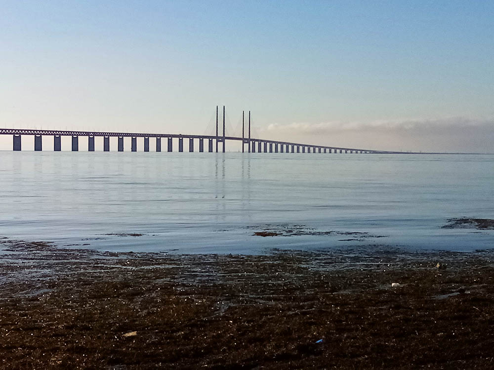
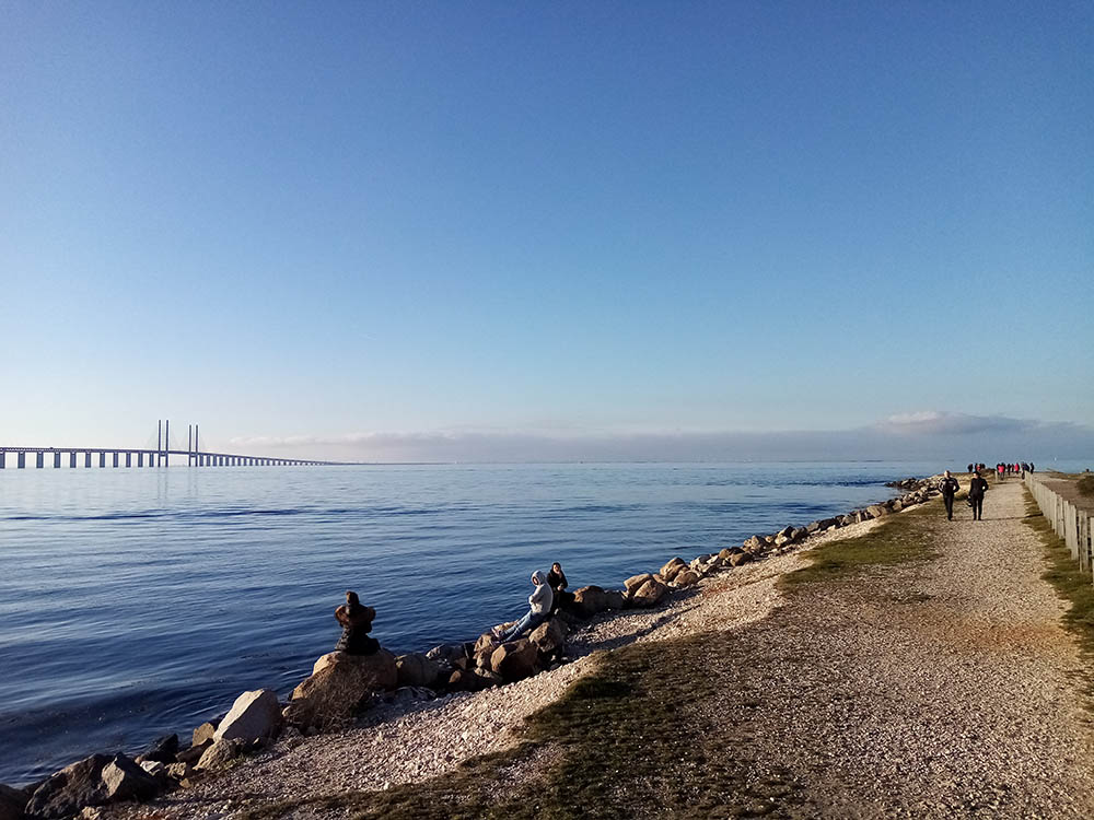
Öresundsbron seen from Ribersborg beach.
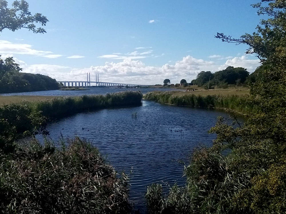
Öresundsbron seen from Ön.
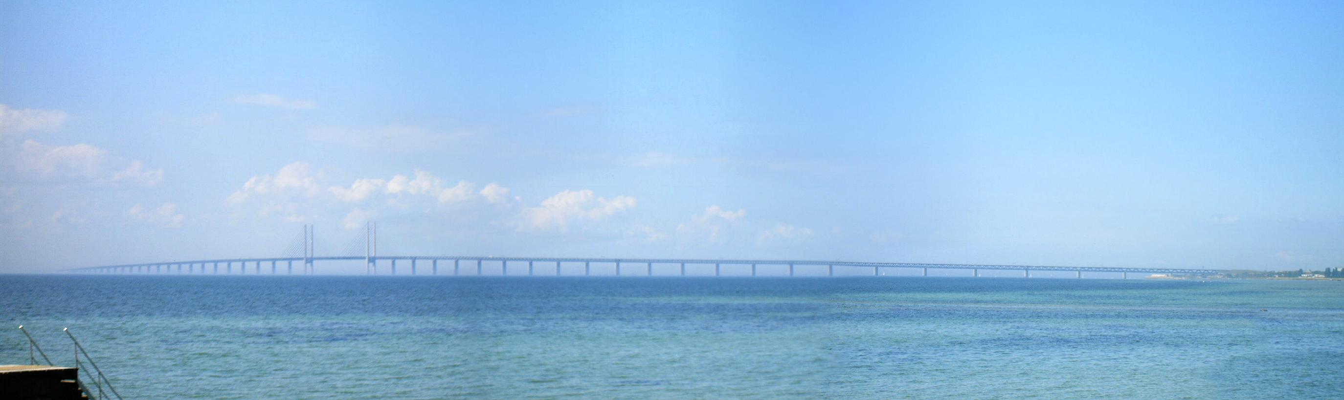
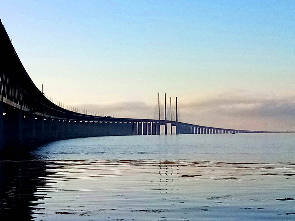
The rest are taken from Brofästet, the site in southern Malmö for tourists to
watch the bridge.
Since the bridge was built, the traffic in Malmö has increased very much and
a lot of new contruction has began. Many people commute between Denmark and
Sweden every day now, as Copenhagen and Malmö now is considered one region,
called Örestad. During 2020, when most of these pictures where taken however, the traffic decreased a lot because of the covid-19 crisis and the closing of borders.
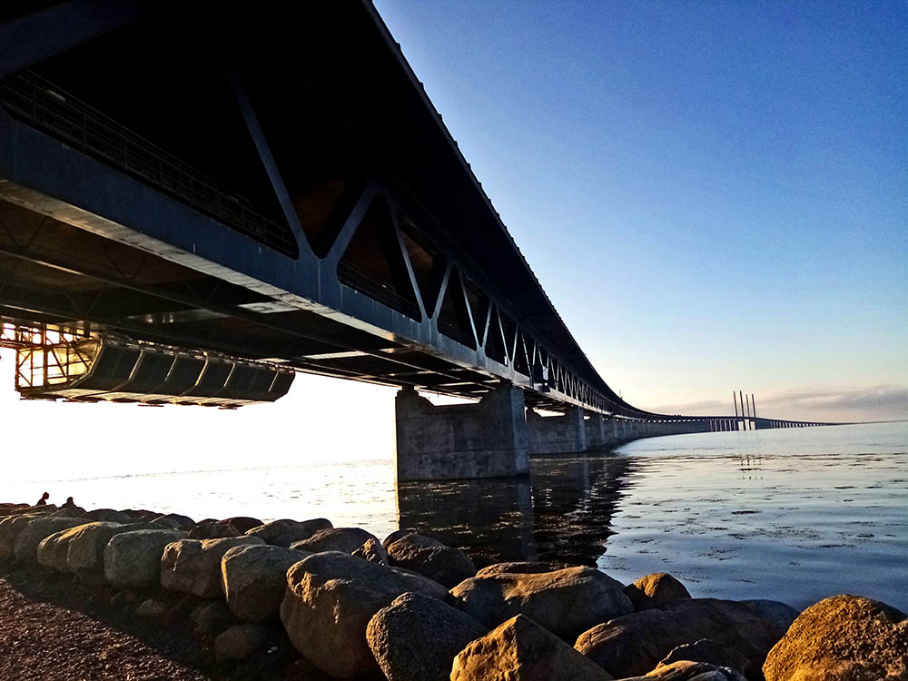

Close-ups of the bridge from beneath:

From right beneath the bridge!
From south of the bridge(the rest are from the north). Here you can study the
details:

This is the road above the railway. Look at the signs.

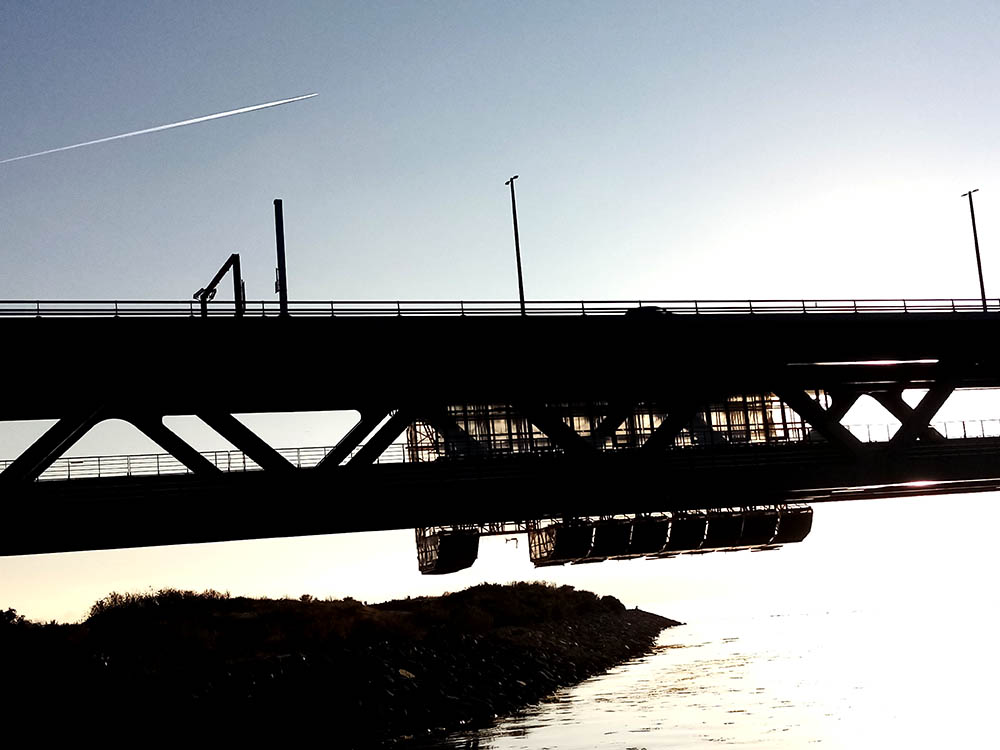
Here you can see, the trains runs below the road. The parts hanging out are for doing a paint job in 2020.
Brofästet´s view point.
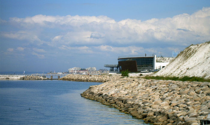
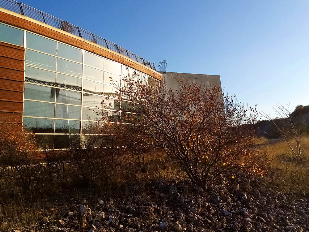

This restaurant "Luftkastellet" at Brofästet is located beneath the view point. Look at the
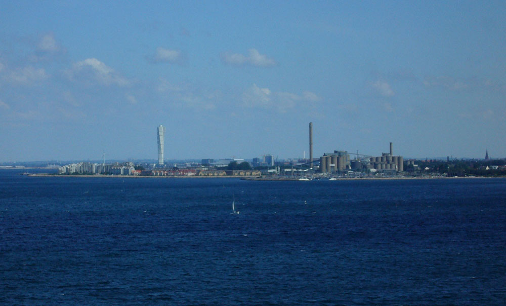
bridge mirroring in the windows. Malmö skyline from the south, you can see Hyllie
Vattentorn and Turning Torso at the same time. This is the site were the now
cancelled Scandinavian Tower would be built.
A small peninsula at Brofästet, with nice views towards Öresundsbron and Denmark.
Öresundsbron seen from Sibbarp camping.
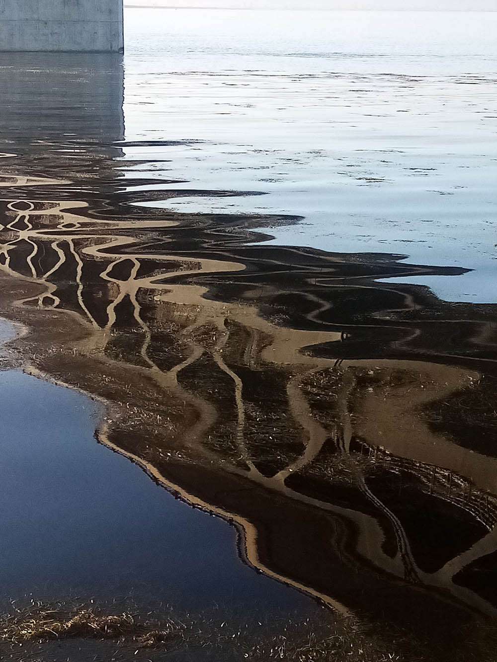
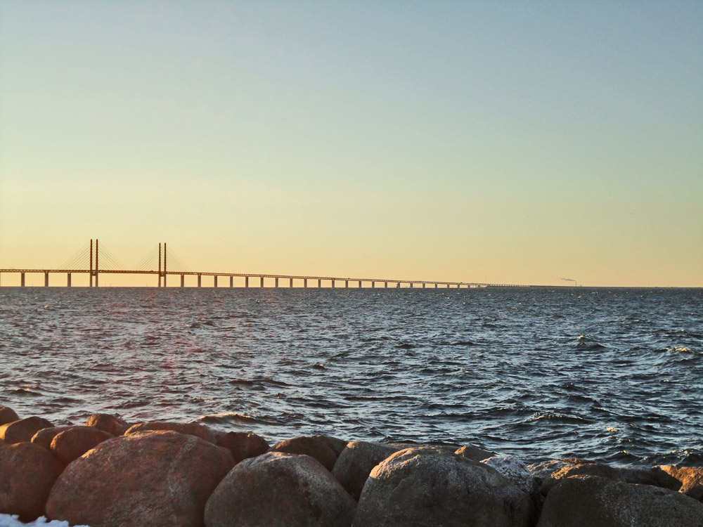
"Bridge over troubled water." Öresundsbron mirrored in Öresund during the covid-19 crisis when the borders between Denmark and Sweden where closed for some periods.
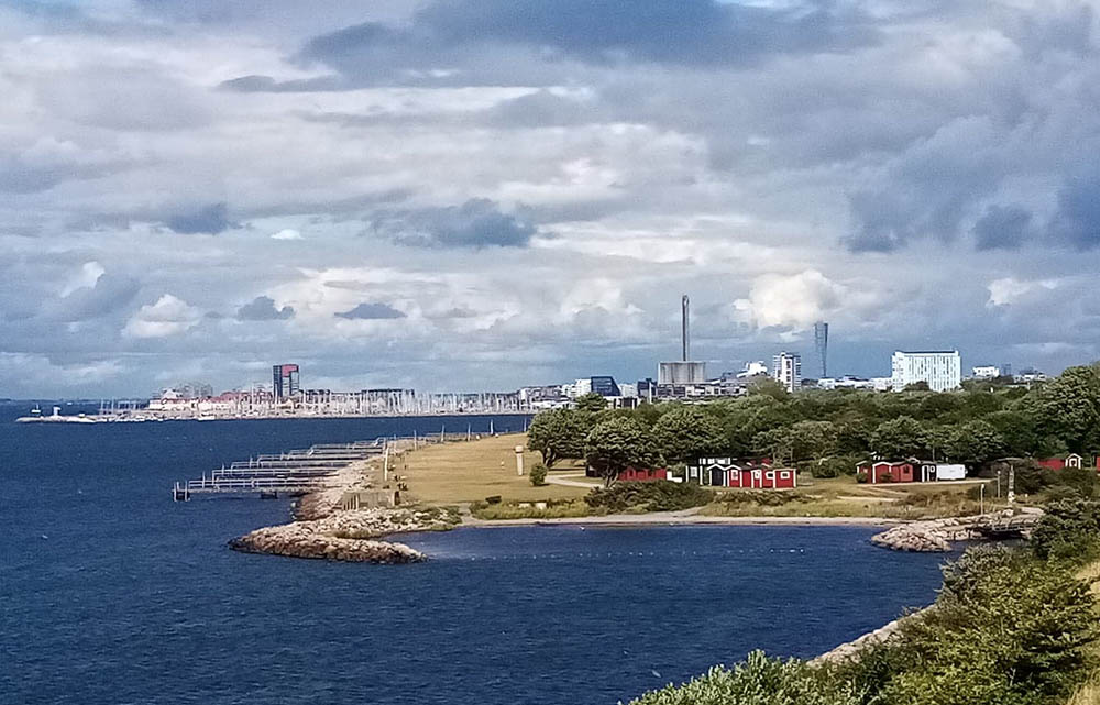
Malmö skyline from Brofästet.
This is how Malmö's skyline looks from the highway on the bridge. Turning
Torso is totally dominating.
Website:http://www.oresundsbron.com/bron_intro.htm
For
more facts about the bridge (in Swedish), visit: http://www.scania.org/bridge/fakta.htm